

 Image 1 of 5
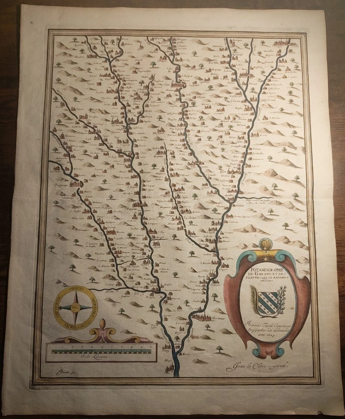 Image 2 of 5
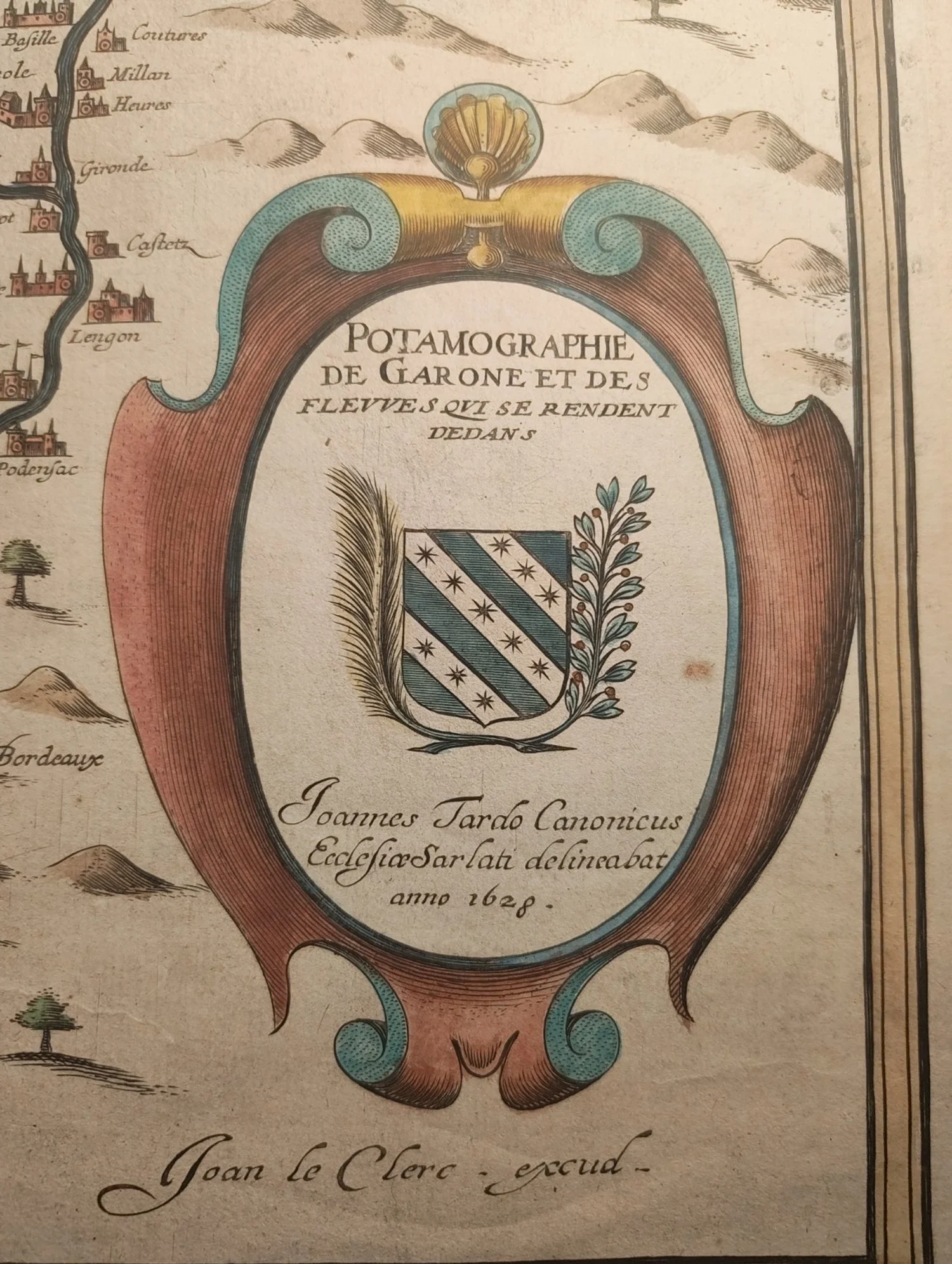 Image 3 of 5
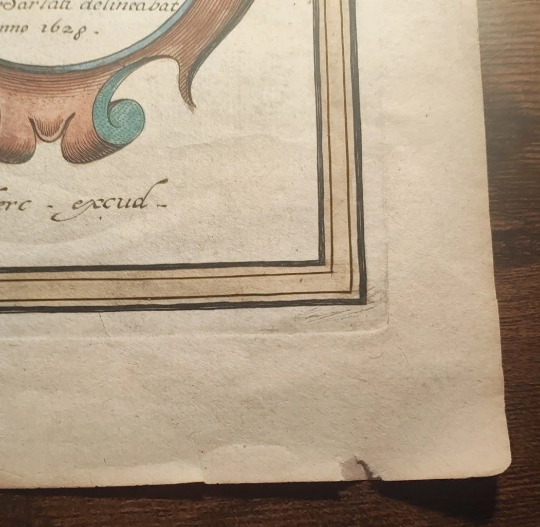 Image 4 of 5
 Image 5 of 5
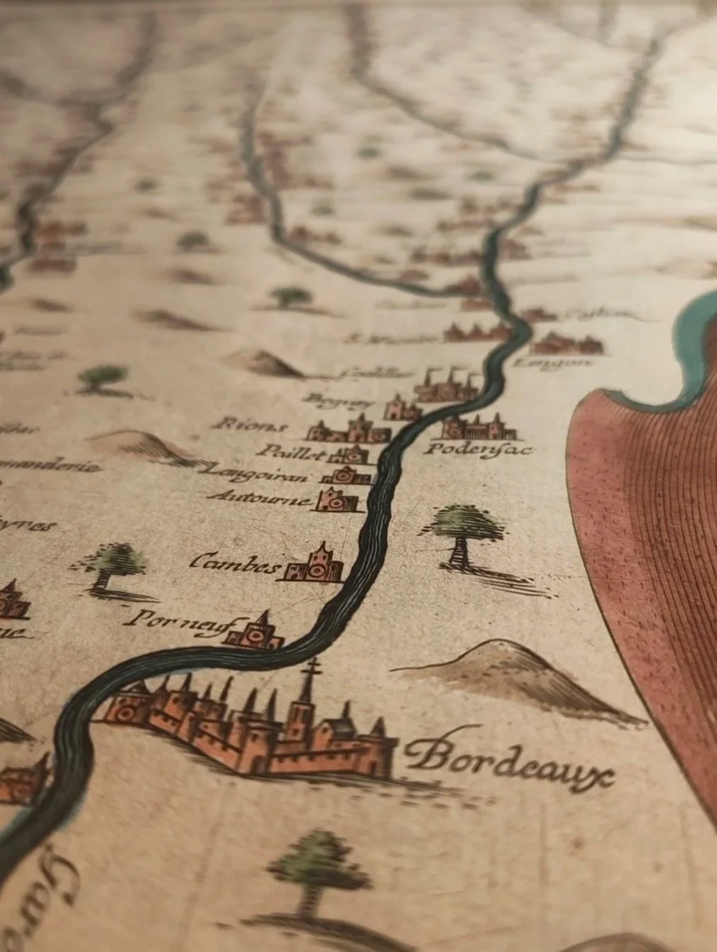
This finely engraved and hand coloured map presents the river system of southwestern France, centered on the Garonne and its tributaries, from the inland regions to Bordeaux. Executed by Jean Le Clerc in 1628, it belongs to the early seventeenth century tradition of decorative French cartography, where geographic precision is combined with heraldic display and careful ornamentation. The map offers not merely a geographic survey, but a visual statement of regional order, jurisdiction, and identity.
Large engraved map on laid paper, with contemporary hand colouring. The river network is depicted vertically, populated with towns, churches, forests, and stylized relief. At lower right, an elaborate cartouche encloses the title and a heraldic shield, with inscription naming Jean Le Clerc as engraver and the date 1628. Compass rose and scale bar are present. The verso is blank. The sheet shows original folds as issued, with visible fold lines, edge wear, and minor losses at margins, consistent with age and use. Overall condition is honest and intact, with strong impression and well preserved colour.
Original Name: Potamographie de la Garonne et des Fleuves qui s’y Rendent
Author: Jean le Clerk
Printing: Paris, 1628
Dimensions: 53×41 cm
Jean Le Clerc was active in Paris during a period when French cartography was increasingly oriented toward administrative clarity and internal geography, rather than overseas exploration alone. River maps such as this were essential tools for governance, trade, and military logistics. The Garonne in particular was a vital artery linking the interior of France with the Atlantic world, and Bordeaux emerges here as a focal point of economic and political gravity.
This map stands as an early visual synthesis of geography, power, and ornament in seventeenth century France. Its appeal lies equally in its cartographic content and its aesthetic presence. As an original example from 1628, it represents a scarce survival from the formative period of French engraved mapping, suitable for both scholarly interest and refined display.